-40%
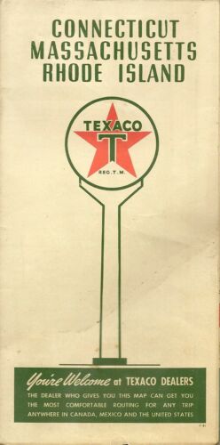
1941 TEXACO Road Map CONNECTICUT MASSACHUSETTS RHODE ISLAND Boston Hudson River
$ 5.48
- Description
- Size Guide
Description
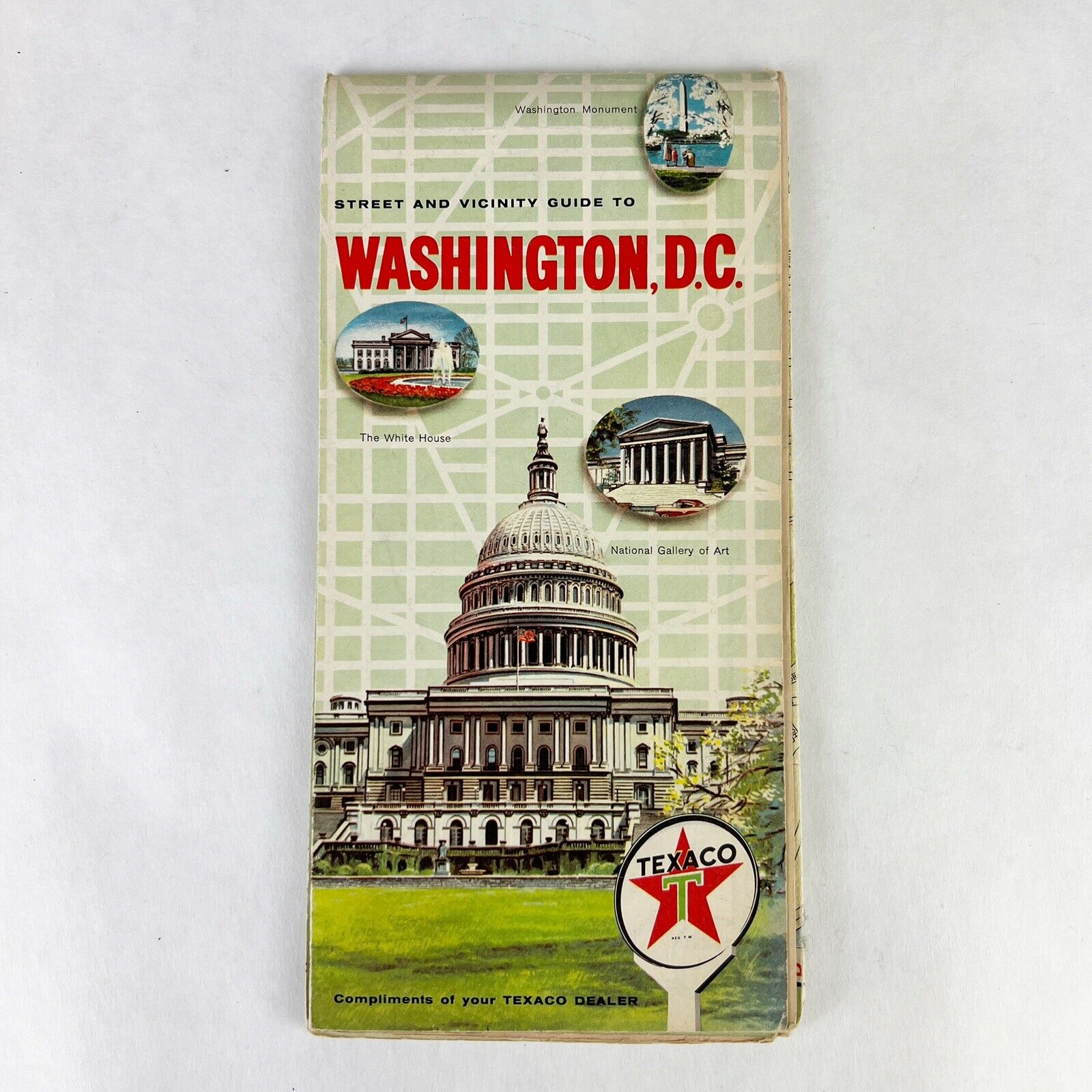
1941 TEXACO Road Map CONNECTICUT MASSACHUSETTS RHODE ISLAND Boston Hudson RiverHandsome fold-out Texaco road map of Connecticut, Massachusetts, and Rhode Island, printed more than 73 years ago.
This map opens to 21" x 28" and has great detail on old highway alignments, with cartography by Rand McNally. One side shows Massachusetts, with a large inset of Boston and vicinity.
There's a map of Connecticut and Rhode Island on the other side, along with an inset of the lower Hudson River region, from New York City to Peekskill and the Bear Mountain Bridge.
The map was distributed by Texaco in 1941 and is dated by the code number in the lower margin: W.3819. A panel lists state and federal gasoline taxes as of September 2, 1941.
Condition:
This map is in very good condition, bright and clean, with a faint crease on the cover and
no
rips, tears, or writing. We are pleased to offer it with
our unconditional, money-back guarantee.
Powered by SixBit's eCommerce Solution
